
TRANSFORMING AND INNOVATING AGRICULTURAL SYSTEMS
We fly purpose-built UAVs designed for efficient crop mapping and spraying systems. Our solutions can help you map large crop areas, identify problems, optimize output, maximize production, and estimate returns.
Operating at fast speeds and an aerial vantage point, UAVs can cover hundreds of hectares of land, collecting diverse and detailed data, in a single flight. This means surveying agricultural projects with a UAV is not only accurate and comprehensive, it’s cost-effective too.
COMMON DEPLOYMENTS

DAMS AND RIVERS

FORESTS

cropS

Orchards
DC GEOMATICS WAS THE VERY FIRST MANAGED AERIAL SERVICES TO OBTAIN SACAA APPROVAL TO OPERATE CROP-SPRAYING DRONES IN SOUTH AFRICA.
SINCE THEN, WE HAVE PARTNERED WITH SEVERAL OF THE BIGGEST NAMES IN THE INDUSTRY.
SERVICE APPLICATIONS
CHEMICAL
FERTILIZER
FUNGICIDE
HERBICIDE
PESTICIDE
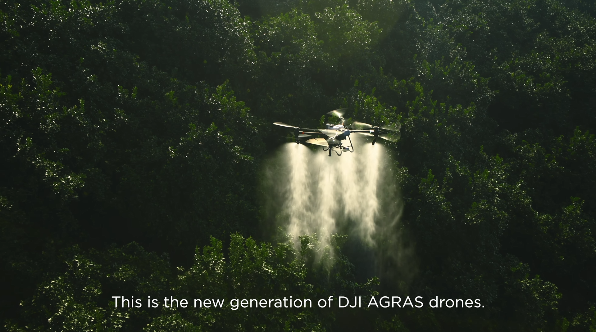
Check out the new DJI Agras T50
You Might Find These Interesting

