

COMMERCIAL TRAINING
DRONES OPERATIONS TRAINING
Take a look at all of our Commercial Training courses listed below.

COURSE 1 | Drone Crop Spraying (Available for both the Agras T30 and T40)
DURATION: 3 DAYS
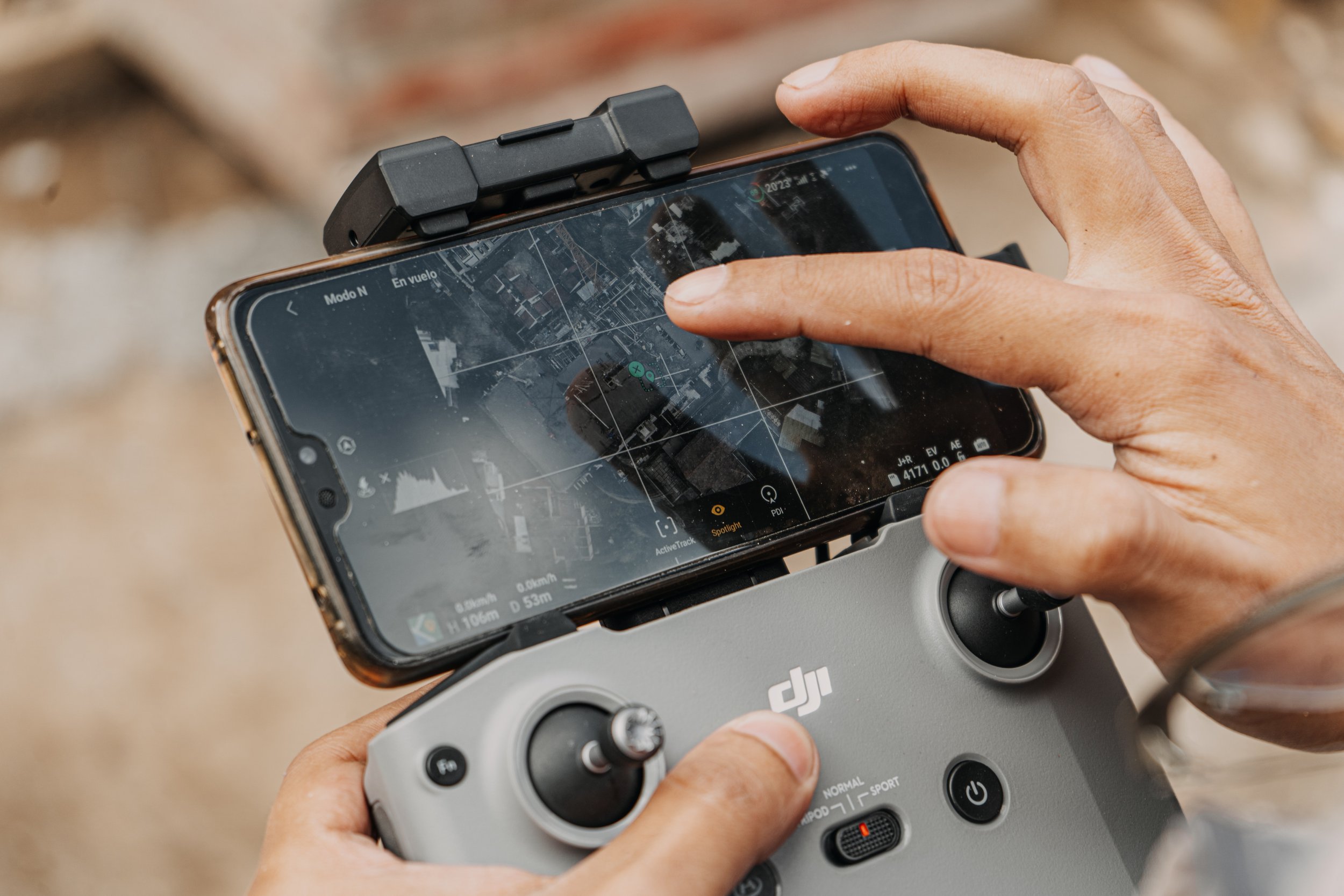
Mastering DJI Agras T40
Dive into the specifics of the DJI Agras, a state-of-the-art agricultural drone designed for precision spraying. Learn to navigate its advanced features and unlock its full potential for crop protection.Operational Best Practices
Acquire hands-on experience in operating the DJI Agras with our expert instructors. From pre-flight checks to mission planning, we cover operational best practices to ensure safe and effective drone spraying.Customized Application Techniques
Tailor your spraying techniques to specific crops and field conditions. Our training program provides insights into adjusting application rates, optimizing coverage, and addressing variables for diverse agricultural scenarios.Regulatory Compliance
Stay abreast of regulatory requirements and guidelines for drone spraying operations. Our training includes an in-depth understanding of compliance standards, ensuring your operations adhere to industry regulations.Data Integration and Analysis
Explore the integration of drone-sourced data into precision agriculture practices. Learn to analyze data outputs, interpret results, and make informed decisions to enhance crop yield and resource utilization.

COURSE 2 | Drone SURVEYING (AVAILABLE FOR BOTH THE WINGTRAONE II AND M300 RTK)
DURATION: 2 DAYS
Mastering Aerial Surveying Techniques
Learn the art of conducting accurate and efficient surveys from the sky. Our training program covers the principles of drone-based surveying, ensuring you acquire the skills needed for precise data collection.Hands-On Drone Operation
Take the reins of industry-leading surveying drones as our experienced instructors guide you through practical, hands-on flight sessions. Gain confidence in navigating survey missions and optimizing data capture.Data Processing and Analysis
Unlock the power of drone-sourced data with comprehensive training in data processing and analysis. Understand the tools and techniques to transform raw data into actionable insights for your surveying projects.Customized Mapping Solutions
Tailor your mapping solutions to diverse surveying needs. Whether it's topographic mapping, construction site surveys, or environmental assessments, our training equips you with the knowledge to adapt drone surveying to various applications.

COURSE 3 | Drone INSPECTIONS (ANY)
DURATION: 2 DAYS
Advanced Drone Operation Techniques
Master the art of drone-based inspections with our comprehensive training. Gain proficiency in manoeuvring industry-leading drones to conduct thorough and precise inspections.Hands-On Flight Sessions
Take control of cutting-edge inspection drones in practical, hands-on flight sessions. Learn to navigate complex structures and capture detailed imagery for comprehensive inspections.Data Analysis and Reporting
Elevate your inspection capabilities with training in data analysis and reporting. Understand how to interpret drone-sourced data, generate actionable insights, and produce detailed reports for effective decision-making.Specialized Inspection Applications
Tailor your training to specific inspection needs, whether infrastructure, energy assets, or industrial facilities. Our program equips you with the knowledge to adapt drone inspections to diverse applications.
DOWNLOAD OUR FULL LIST OF DC GEOMATICS APPROVED COMMERCIAL TRAINING COURSES
WHY DC GEOMATICS FOR YOUR COMMERCIAL TRAINING?
-

Proven Track Record
With a track record of excellence, DC Geomatics is a trusted name in the geospatial industry. Our training program reflects our commitment to maintaining the highest standards.
-

Innovation at its Core
Stay ahead of the curve with our innovative training approach. We keep pace with industry advancements to ensure you receive the most relevant and up-to-date knowledge.
-

Comprehensive Support
Our commitment to your success extends beyond the training room. DC Geomatics provides ongoing support to help you integrate your newfound skills into your professional endeavors.
-

Global Reach
Join a network of professionals who have trained with DC Geomatics and are making a global impact in the geospatial domain. Our training transcends borders, connecting you with a community of like-minded professionals.
Embark on your geomatics journey with DC Geomatics' COMMERCIAL Training.
Elevate your skills, expand your horizons, and become a leader in the dynamic world of geospatial technology. Contact us today to explore commercial opportunities and secure your spot in our upcoming training sessions.