

TRANSFORMING AND INNOVATING INSPECTIONS SYSTEMS
Operating at fast speeds and from an aerial vantage point, we can utilize various tools and applications that can help cover hundreds of hectares of land, collecting diverse and detailed data, in a single session. This will allow you to map large crop areas, identify problems, optimize outputs, maximize production, and estimate returns.
COMMON DEPLOYMENTS

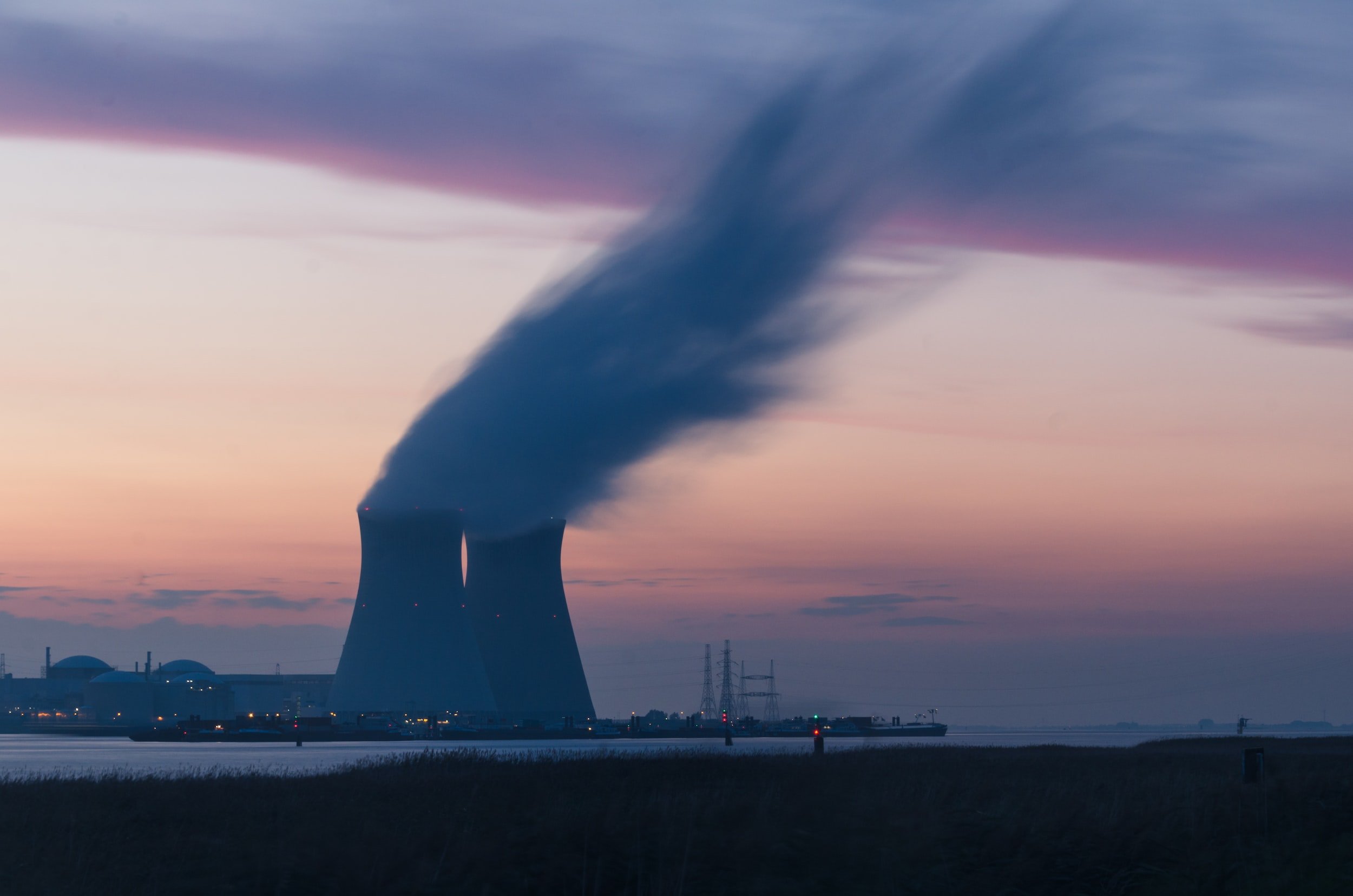
INDUSTRIAL

COMMERCIAL
THERMAL
DC Geomatics has completed inspections at most of South Africa’s National key points and strategic installations, including sites such as; Sasol, Engen, SAPREF and the island view military complex. We have been working with Delta Scan in the space since 2019 and have concluded an exclusivity agreement with them in 2022. This exclusive consortium will ensure that we set a united front between data collection, data processing and analytics, that is led by subject matter experts.
Since 2015, DC Geomatics has partnered with numerous companies in South Africa. Our mission is to ensure compliant drone technology is a reality in every day-to-day business environment.
Check out the DJI MAVIC 2
You Might Find These Interesting

